
VERTICAL ELECTRICAL SOUNDING (VES) SURVEY
Electrical Sounding (VES) Survey
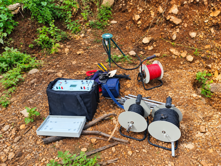
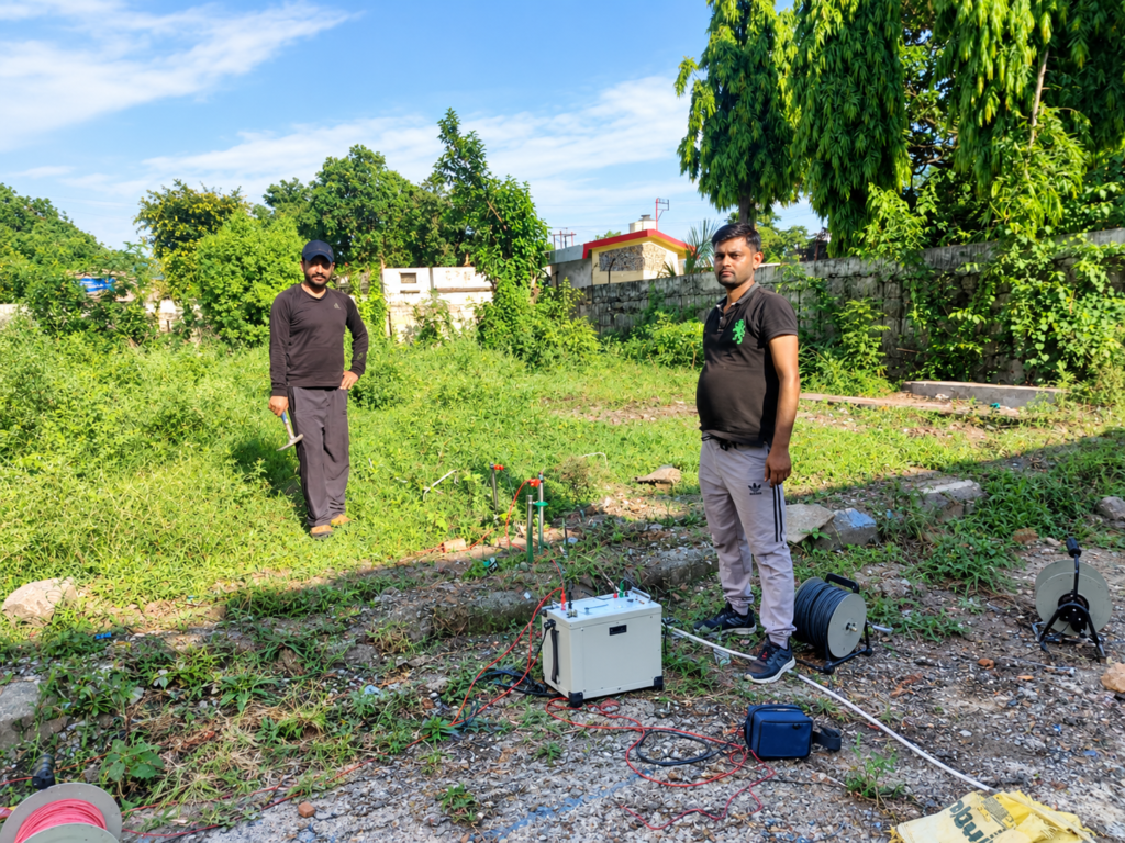
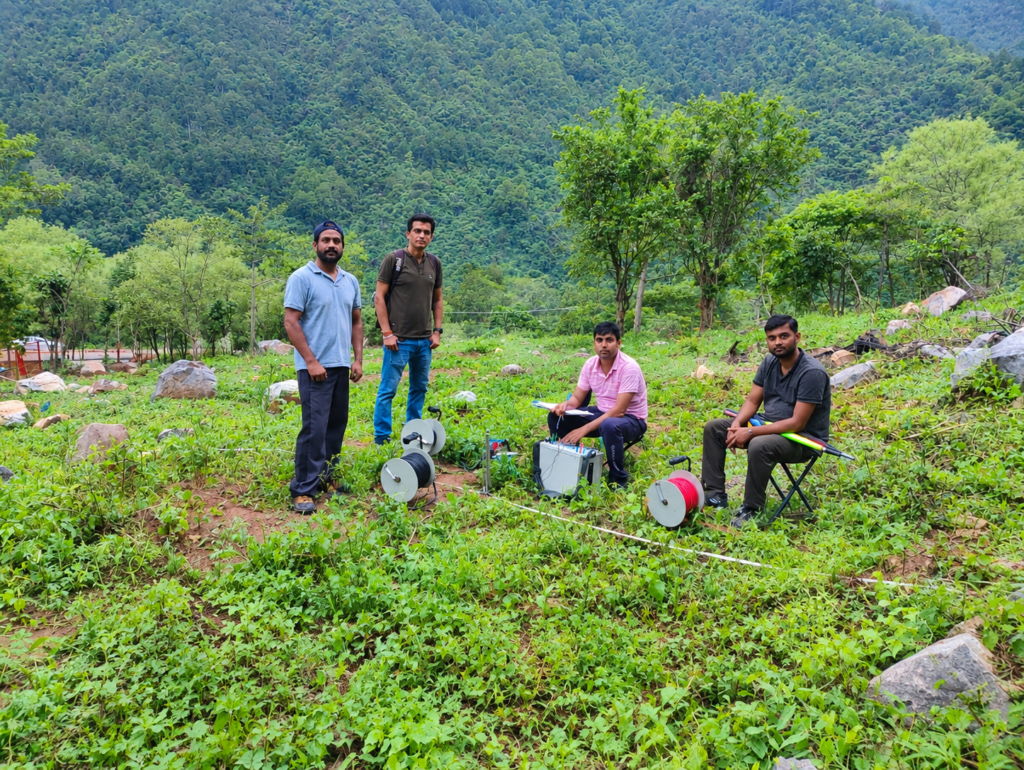
Vertical Electrical Sounding (VES), also known as Electrical Sounding, is a proven geophysical resistivity method used to investigate subsurface layering and identify potential groundwater zones. By injecting electrical current into the ground through a four-electrode array and progressively increasing electrode spacing, VES measures apparent resistivity at increasing depths to generate a one-dimensional (1D) resistivity model beneath a single point.
VES surveys are widely used for groundwater exploration, aquifer mapping, bedrock depth estimation and preliminary site characterization before borewell drilling. The method helps delineate weathered zones, fractured formations and possible water-bearing horizons, supporting more informed drilling decisions and reducing the risk of unsuccessful borewells.
As a non-invasive, cost-effective and relatively quick technique, VES is suitable for agricultural, rural, industrial and infrastructure sites. Results are interpreted alongside local geology, hydrogeology and existing well data to improve reliability and guide target depth selection.
Applications of VES Survey
Vertical Electrical Sounding (VES) is a versatile 1D resistivity method used across groundwater, engineering, environmental and geological investigations. Key applications include:
Groundwater Exploration and Aquifer Studies
Delineating groundwater potential zones and water-bearing formations.
Estimating depth to bedrock and thickness of overburden/alluvium.
Characterizing aquifer depth, thickness and lateral extent.
Identifying weathered and fractured zones in hard-rock terrains.
Mapping paleochannels and saturated lineaments.
Supporting tube-well and borewell site selection and target-depth estimation.link.springer+6
Engineering and Geotechnical Investigations
Subsurface layer delineation for foundation and site characterization.
Determining depth to competent bedrock for structural design.
Assessing soil stratigraphy and overburden thickness.
Preliminary investigation before intrusive testing (trial pits, boreholes).dergipark.org+2
Environmental and Contamination Studies
Mapping subsurface contaminated zones and leachate plumes.
Investigating vertical and horizontal distribution of pollutants.
Assessing groundwater quality and aquifer protection capacity.
Monitoring hydrocarbon or industrial contamination in suitable settings.kau.edu+2
Hydrogeological Mapping and Resource Assessment
Developing spatial distribution maps of groundwater quality and aquifer properties.
Estimating water content and depth to water levels.
Integrating VES with other methods (e.g., ERT, lineament analysis) for comprehensive hydrogeological models.
Frequently asked Questions
What is a VES survey and how does it work?
A Vertical Electrical Sounding (VES) survey is a geophysical resistivity method used to investigate subsurface layering at a single location. Electrical current is injected into the ground through a four-electrode array (typically Schlumberger or Wenner configuration). By progressively increasing the electrode spacing while keeping the array centre fixed, apparent resistivity is measured at increasing depths. These data are then inverted to generate a one-dimensional (1D) resistivity model showing how resistivity changes with depth.
What are the main applications of VES survey?
VES is commonly used for:
Groundwater exploration and aquifer mapping.
Estimating depth to bedrock and overburden thickness.
Identifying weathered and fractured zones in hard-rock terrains.
Preliminary site characterization for engineering and foundation studies.
Investigating subsurface contamination and groundwater quality in suitable settings.
How deep can a VES survey investigate?
Investigation depth depends on electrode spacing, array configuration, subsurface resistivity contrast and site conditions. In practice, VES can typically investigate from a few metres to several tens of metres (often up to ~100–200 m in favourable conditions), but actual depth is site-specific and should be estimated by a qualified geophysicist based on project requirements.
Is VES suitable for all types of geological settings?
VES works best in relatively layered, laterally homogeneous settings where subsurface properties vary mainly with depth. In areas with strong lateral variations, complex structures, faults or highly heterogeneous geology, the 1D assumption of VES may be inadequate. In such cases, 2D/3D methods like Electrical Resistivity Tomography (ERT) are often recommended in combination with or instead of VES.scribd
How long does a VES survey take and is it disruptive?
A VES survey is non-invasive and relatively quick. A single VES point may take 30 minutes to a few hours depending on electrode spacing, depth of investigation and site conditions. Multiple VES points across a site can usually be completed in a day or two. The method causes minimal disruption, requires only small electrodes in the ground, and is suitable for agricultural, rural, industrial and infrastructure sites.
Get in touch
If you’d like to know more about our VES services, other geophysical surveys, or to request a quote, please get in touch with our team.