
GROUND PENETRATING RADAR (GPR SURVEY)
Ground Penetrating Radar (GPR) Survey
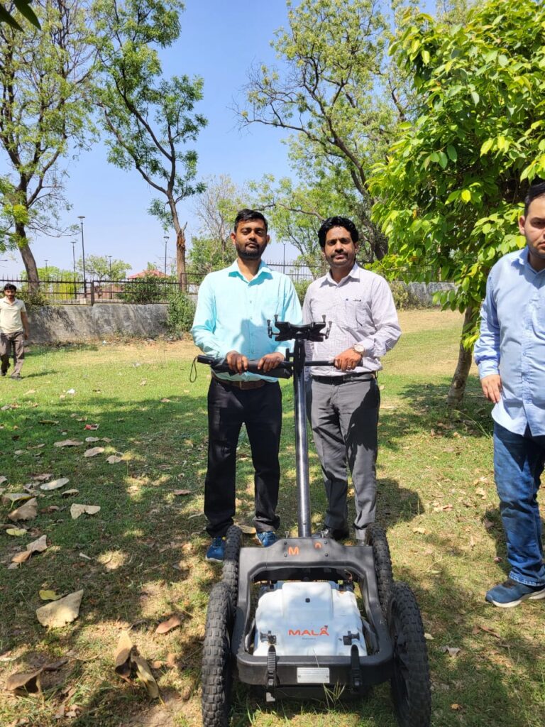
Ground Penetrating Radar (GPR) is a non-invasive geophysical technique that uses high-frequency electromagnetic waves to image the shallow subsurface. A GPR antenna transmits short radar pulses into the ground; when these pulses encounter changes in material properties—such as utilities, voids, layer boundaries or buried objects—part of the energy is reflected back to the surface and recorded.
GPR is widely used for utility mapping, concrete inspection, pavement and road assessment, cavity and void detection, archaeology, forensic investigations and shallow geological studies. It can detect both metallic and non-metallic targets, including PVC pipes, concrete structures, rebar, cables, tanks and buried anomalies.
The effectiveness of a GPR survey depends on site conditions. In dry, sandy or low-conductivity soils, GPR can achieve several metres of penetration with high resolution. In wet, clay-rich or highly conductive soils, signal attenuation is stronger and investigation depth may be limited to less than a metre.
Applications of Ground Penetrating Radar (GPR)
GPR surveys have a range of applications and can be used for:
Civil Engineering, Underground Utility Surveys and Construction Applications
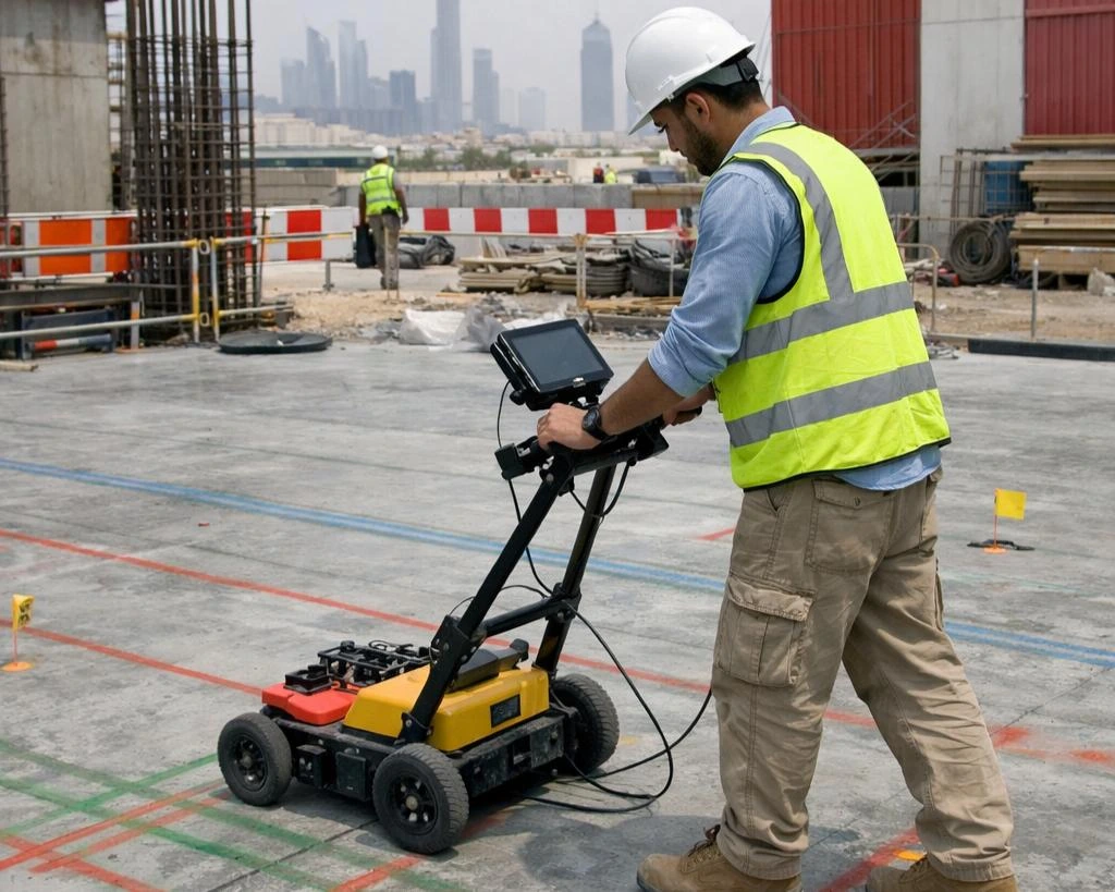
GPR scanning can map buried geological features and detail the shallow subsurface geology. It is commonly used in the pre-construction phase of projects to identify hazards and potential risks, providing accurate results for construction or excavation projects.
Examples include:
- Mapping of Areas of Shallow Voiding.
- Underground Utility Locating for Mapping and Detection of Buried Services
- Mapping Lateral Extents and Depth of Buried Obstructions/Foundations.
- Delineating Buried Underground Storage Tanks (USTs)
- Ground Instability: Mapping of Backfilled/Poorly Consolidated Material.
- Foundation Investigation Surveys
- Bridge Deck Surveys
- Buried Object Location
- Embedded Steel Location Surveys
- Slab Thickness Surveys
- Structural Investigations such as Reinforcement Mapping and Slab Construction.
- Pavement Surveys, Thickness and Layer Analysis
- Concrete Mapping Surveys
Geological and Environmental Applications
GPR has been used in a variety of geological applications, including mapping of the subsurface stratigraphy, assessment of soil properties, and determination of the depth to bedrock. In addition, GPR has been used in environmental applications such as the detection of subsurface contamination and mapping of landfills and other buried waste sites.
Examples include:
- Mapping of Soil and Rock Layers
- Delineation of Contaminated Zones/Landfills
- Mapping of Buried Karst Features
- Depth to Bedrock Surveys
- Locate Subsurface Channels, Faults, and Fractures
Archaeological and Forensic Applications
GPR has been extensively used in archaeology, especially in detecting and mapping buried features such as foundations, walls, and graves.
Examples include:
- Grave Location Surveys
- Chimney Flue Location Surveys
- Historical Building Characterisation
- Mapping of Buried Features and Walls
- Detection of Subsurface Anomalies
- High-Resolution Stratigraphic Imaging
Benefits of Ground Penetrating Radar (GPR) Survey
Ground Penetrating Radar (GPR) Survey is a fast, non-invasive and high-resolution geophysical technique used to investigate subsurface conditions without extensive excavation. It provides valuable information about buried features and underground structures, helping professionals make better decisions before construction, excavation or other subsurface activities.
Key Benefits of GPR Survey
1. Non-Invasive Investigation
GPR allows subsurface investigation without digging or disturbing the ground, making it particularly suitable for sensitive sites such as archaeological locations, completed structures, roads and landscaped areas.
2. High-Resolution Subsurface Imaging
GPR can provide detailed subsurface profiles and help identify the location, geometry and approximate depth of buried features, depending on ground conditions and the characteristics of the target.
3. Detection of Underground Utilities
GPR can assist in locating buried pipelines, cables, conduits, drainage systems and other underground utilities, helping reduce the risk of accidental damage during excavation and construction.
4. Detection of Voids and Buried Structures
The technique can be used to investigate subsurface voids, cavities, foundations, buried walls, archaeological remains and other anomalous features.
5. Reduced Excavation and Project Risk
By providing information about subsurface conditions before excavation, GPR can help minimize unnecessary digging, reduce project delays and improve excavation planning.
6. Wide Range of Applications
GPR surveys are useful in civil engineering, construction, archaeology, forensic investigations, utility mapping, geological studies, road and pavement investigations, and structural assessment.
Frequently Asked Questions
What is ground penetrating radar GPR system and how does it work?
Transmitted radar pulses are reflected back to the surface when encountering objects/materials with differing dielectric properties to the surrounding ground. The reflected signals can then be analysed to produce a pseudo cross-section of the ground beneath.
What can a GPR survey detect?
GPR signals can be used to detect a wide range of underground features including utilities, voids, metal pipes, foundations, and geological strata. It can also be used to map changes in soil or pavement structure.
How deep can a ground-penetrating radar penetrate?
The depth of penetration depends on a number of factors, including the type of material being surveyed. From our experience in the UK, we can typically image up to 10 mbgl, however, this is site-dependent. Speak to one of our in-house geophysicists who can advise further.
How long does a GPR survey take?
The time required to complete a GPR survey depends on the size and complexity of the site being surveyed, as well as other geological features such as the object of interest and the density of the data required to properly resolve the intended target(s). We are always more than happy to talk about your survey requirements and advise on how long we think a particular survey should take.
How much does it cost for a ground-penetrating radar survey?
GPR survey cost depends on a number of factors, including the size and complexity of the site being surveyed. The expenses associated with a GPR survey conducted include the costs of hiring professional GPR survey contractors, which can vary depending on the extent of the survey and the need for a detailed report of the findings afterwards. The average price for a complete GPR survey is generally competitive in comparison to intrusive investigation.
Get in touch
If you’re interested in our GPR surveying services, please don’t hesitate to get in touch. We would be more than happy to discuss your specific requirements and provide a quote.