Introduction
Electrical Resistivity Tomography (ERT) is an advanced geophysical technique used to study subsurface conditions by measuring the electrical resistivity of soil and rock layers. It is widely used in groundwater exploration, environmental studies, and engineering projects.
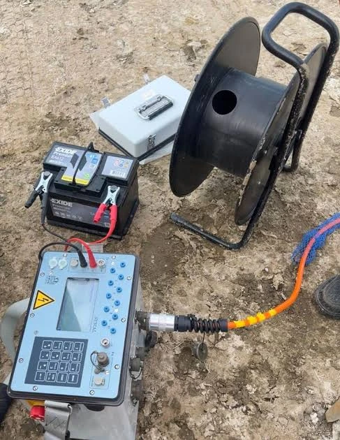
At GEOSCOPE SOLUTIONS LLP, we provide accurate and reliable ERT survey services using modern equipment to deliver detailed subsurface profiles and help clients make informed decisions.
What is ERT Survey?
ERT (Electrical Resistivity Tomography) is a method that uses electrical current to map underground structures. By injecting current into the ground and measuring potential differences, it creates a 2D or 3D image of subsurface layers.
It helps in identifying:
- Groundwater zones
- Rock layers and fractures
- Voids and cavities
- Soil variations
Why is ERT Survey Important?
ERT surveys are crucial for reducing risks and improving accuracy.
Problems without ERT survey:
- Borewell failure
- Incorrect site selection
- Financial losses
- Poor subsurface understanding
Benefits of ERT survey:
- Accurate groundwater detection
- Detailed subsurface imaging
- Better decision-making
- Cost and time savings
Step-by-Step ERT Survey Method
A systematic approach is followed to ensure precise results:
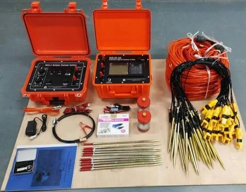
1. Site Inspection and Planning
- Understand project requirements
- Select survey location
- Decide survey line length and direction
- Choose electrode configuration
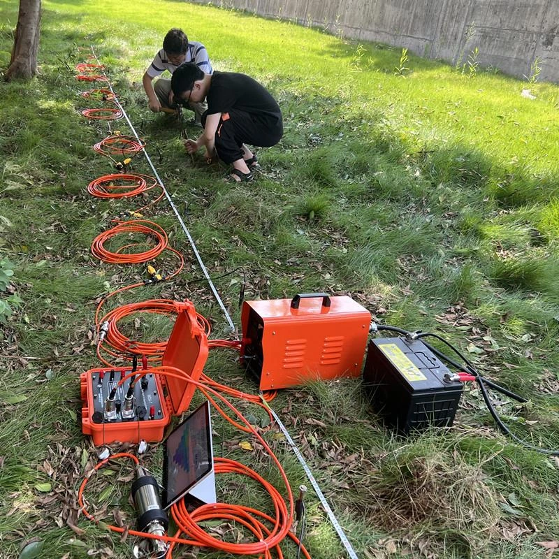
2. Electrode Layout Setup
- Insert electrodes into the ground at equal spacing
- Connect electrodes with cables
- Ensure proper grounding
3. Instrument Setup
- Connect resistivity meter to electrodes
- Configure survey parameters
- Select array type (Wenner, Schlumberger, Dipole-Dipole)
4. Data Acquisition (Field Survey)
- Inject electrical current into the ground
- Measure voltage differences
- Record resistivity values
- Repeat measurements along survey line
5. Data Processing and Inversion
- Transfer data to software
- Apply filtering and corrections
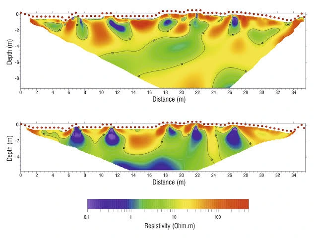
- Generate resistivity models (2D/3D images)
6. Interpretation and Reporting
- Identify water-bearing zones
- Analyze subsurface layers
- Prepare detailed report
- Suggest drilling or construction points
Applications of ERT Survey
ERT is widely used across industries:
- Groundwater exploration
- Borewell site selection
- Environmental studies
- Geotechnical investigations
- Mining and mineral exploration
- Dam and foundation studies
Common Mistakes to Avoid
Avoiding these ensures better survey results:
- Improper electrode spacing
- Poor grounding conditions
- Wrong array selection
- Inaccurate data interpretation
- Lack of expert supervision
Why Choose GEOSCOPE SOLUTIONS LLP?
We provide professional and accurate ERT survey services.
- Experienced geophysicists
- Advanced resistivity equipment
- Accurate data interpretation
- Reliable and fast reporting
- Cost-effective solutions
Contact Us Today
Need an ERT survey for your project?
👉 Contact GEOSCOPE SOLUTIONS LLP
📱 Call / WhatsApp: 9991624963, 9896441008, 7988670701